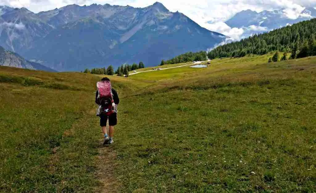
The Pentema loop is a beautiful hike that starts just above the village of Pentema and runs for 8.8 kilometres, following a section of the RigAntoCa, then descending to the Buoni di Pentema and returning to the car in an estimated time of about 3 hours.
It is a challenging hike for a small child as well as for an untrained adult, as it has an elevation gain of 550 metres.
It took us 4h to complete the loop, not counting the stop for lunch (with a trained 4-year-old).
Let’s see the itinerary in detail.

Pentema loop: itinerary
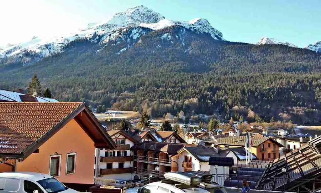
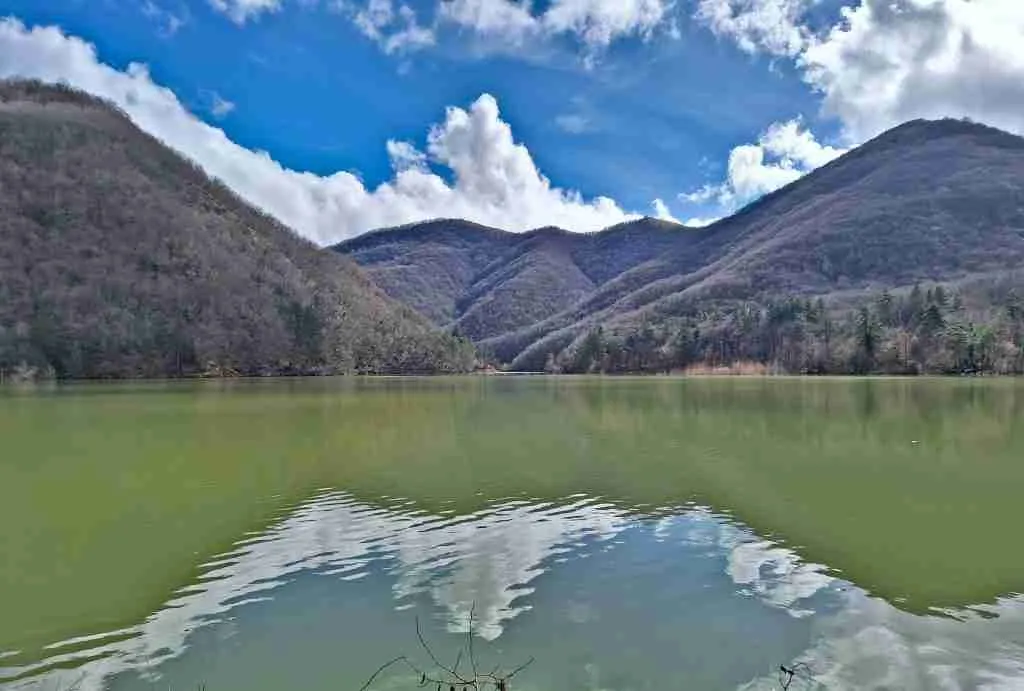
We leave the car in the small square above the village of Pentema and, before starting our hike, we can take a look at the village from above.
For those who don’t know it, Pentema is a small village nestled in the green Ligurian hinterland that, since 1995, has displayed its famous nativity scene with life-size manikins in December, January and February.
Returning to our excursion, it may be useful to know that where you park your car, there is a tap that dispenses drinking water. The signpost to follow consists of three yellow dots.
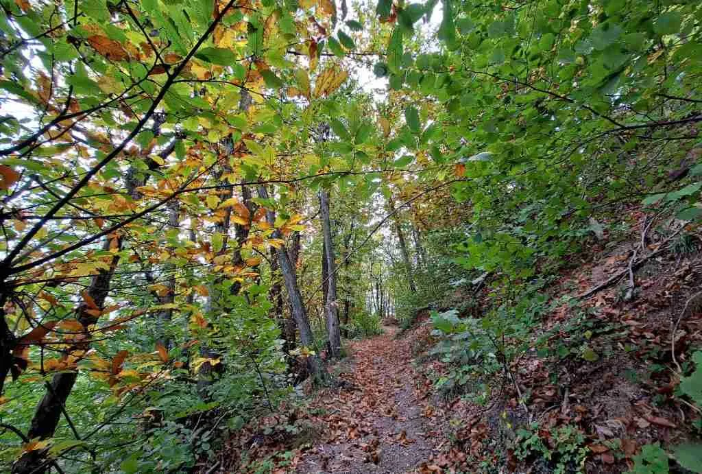
We climb up the mule track which is not too steep: in an hour or so, through the woods and without any particular effort, we arrive at the Chapel of the Madonna della Guardia, at an altitude of 1036 metres.
Continue on the dirt road to the left of the chapel to arrive, in about ten minutes, at Ballo della Gallina, a crossroads of several itineraries. Here, too, there is a tap and a dog bowl.
The path that interests us is the uphill one marked by the two full yellow squares. This is the section covered by RigAntoCa, the 43.21-kilometre-long non-competitive mountain march (from Righi to Monte Antola via Caprile).
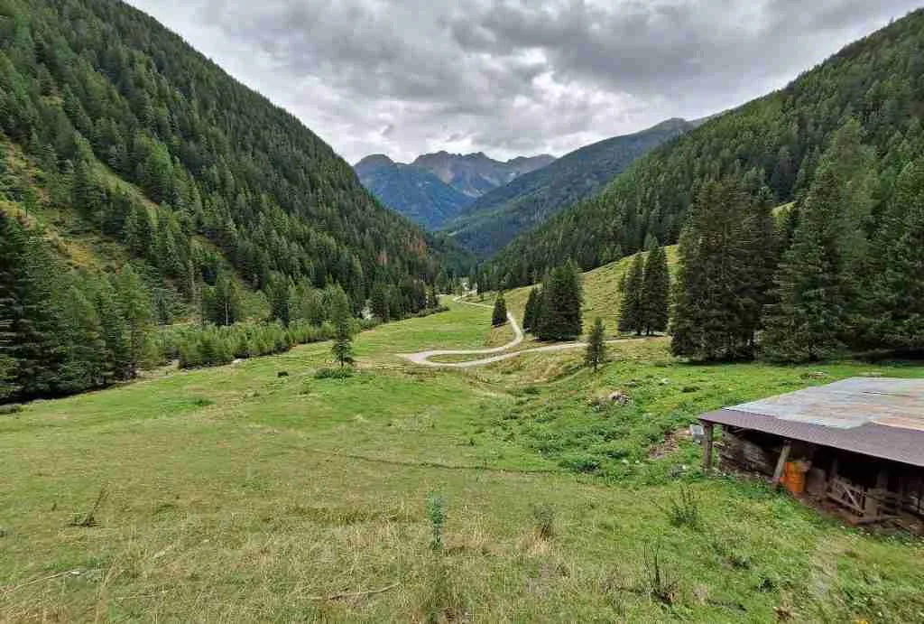
From here on, the path climbs, rather laboriously, for a couple of kilometres.
You finally come out of the forest and, following the path, you arrive in about an hour and a half from the Ballo della Gallina to the Cappella del Colletto, at an altitude of 1283 metres.
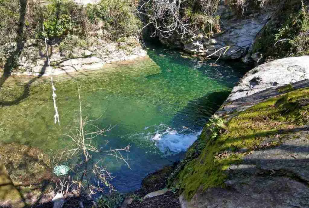
Buoni di Pentema
Take the path that descends to Buoni di Pentema at 1120 metres altitude (marker three yellow dots) from where you continue on a steep descent to Pentema, at 839 metres.
If the entire hike up to this point has been pleasant, the last downhill section is really monotonous and slightly tiring on the knees.
When you reach the end of the mule track, you come out onto an asphalt road and walk 400 metres on a carriage road back to the car.


Useful information
To walk the Pentema loop, hiking boots and some snacks or packed lunches are necessary, as there are no refreshment points along the route.
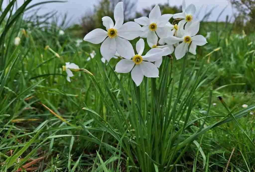
In our opinion, it is a beautiful hike to take in late summer (you will find blackberry plants), or in autumn with the foliage.
If you are travelling with children, right in front of the sign indicating the direction to go to Pentema or its crib, there is a very small playground.

How to get to Pentema
From Genoa, take the SS45 road to Torriglia. Here, follow the signs for Donetta: after passing the small village church, take the road on the right that leads to Pentema in 15 minutes.
Continue reading:
2. Trekking to Monte della Cavalla